
What? |
|---|
| When you look up Ikuno Highland (生野高原) on Google Maps, it will show you a golf course. That or the adjacent local resort. Otherwise there is no trace of any highland. Right next to the golf course though is the trail head for Mount Dangamine (段ヶ峰 – 1103m), passing two other peaks, namely Darugamine (達磨ヶ峰 – 912m) and Futogamine (フトウガ峰 – 1082m). These three peaks are only three dots in a sea of hills and mountains dotting central Hyogo Prefecture (兵庫県). |
Where? |
The trailhead is a 40 minute walk from Ikuno Station (生野駅) on the Bantan Line (播但線). This line connects the station with Himeji (姫路), and while not particularly difficult to reach, the spotty service makes it a time consuming affair.

|
URL |
| Ikuno Navi |
It’s not because you know the rules that you abide by them. I know that pacing yourself is a very important part of hiking but here I was not doing it. The thing about this hike is: it starts with a steep ascent. No gentle hill to walk you in, no possibility of warming up; just right from the start, going up, going up, going up. And I went way too fast. The first part was indicated as a one hour walk; I did it in 20 minutes. That’s not me humble bragging. I was dead – I needed to catch my breath at some point. So I used the first resting spot to sit myself down, drink a little bit of water, eat a little bit of sugar; in short, find some time to just adjust myself to the mountain.
But the steepness wasn’t all hardship. The vistas to the left, to the right and behind me were awesome from the very start. After my early first rest I proceeded at a more leisurely pace which allowed me to fully appreciate the surroundings. I thoroughly enjoyed this first part of the hike, but the arrival at the first summit – Darugamine - was a bit of a letdown because it was a quite uneventful point.
But it didn’t spoil the fun. The steep part seemed to be behind me – the climb began to ease. The stunning views gave way to green lush forest. Japanese people are obsessed with spring and the blossoming of flowers on one hand and fall with the seemingly limitless shades of red and yellow leaves. I agree those are very beautiful seasons and the symbolism of the cycle of nature and life is not lost on me, but I also think the beauty of green is not valued as it should. Just take a look at the cities; anything remotely green has to make way for charmless concrete.
Anyway, the path goes down and leads to a marker of the lowest point. From here on it’s all the way up again to the next summit – Futogamine. Unlike the first climb though, this ascent is gradual – it starts gentle to end up steep only at a point where you have found a good rhythm. The climb also didn’t last very long. Getting out of the forest, I was met with a stony, bald, plain. The sun had reached its highest point, and while the soaring heat of summer still had to come, these 28 degrees felt hotter than its nominal value.
The actual peak of Futogamine had a very bland, metal marker on it, but that didn’t spoil the view. A lonely hiker was eating her lunch here and it was easy to understand why.
The mountains of Kansai are neither high or particularly stunning peaks, but the sight of endless sturdy bumps of central Hyogo Prefecture always moves me.
From here the path to the last and highest summit – Dangamine – is a very enjoyable hike over a gently flowing mountain ridge with constant lovely views of the many mountains and hills around it. I sat myself down for my lunch and enjoyed the fantastic backdrop. It was a great spot, but such a pity of the fence behind the summit marker… this fence had been present earlier in the hike and would follow the path down from Dangamine. I’m not sure, but I think it’s been put there to protect newly planted areas.

I wasn't even 10 minutes far in the hike.

This was maybe 30 minutes into it.
Just before reaching the second summit there's a slight change of scenery.

And then a nice, stony plain.
The hike up until now was great. When hiking or walking I usually prefer to walk in loops in the hope to see as much different scenery as possible. Today again I planned a loop, but in hindsight I should have just traced back my steps from Mount Dangamine.
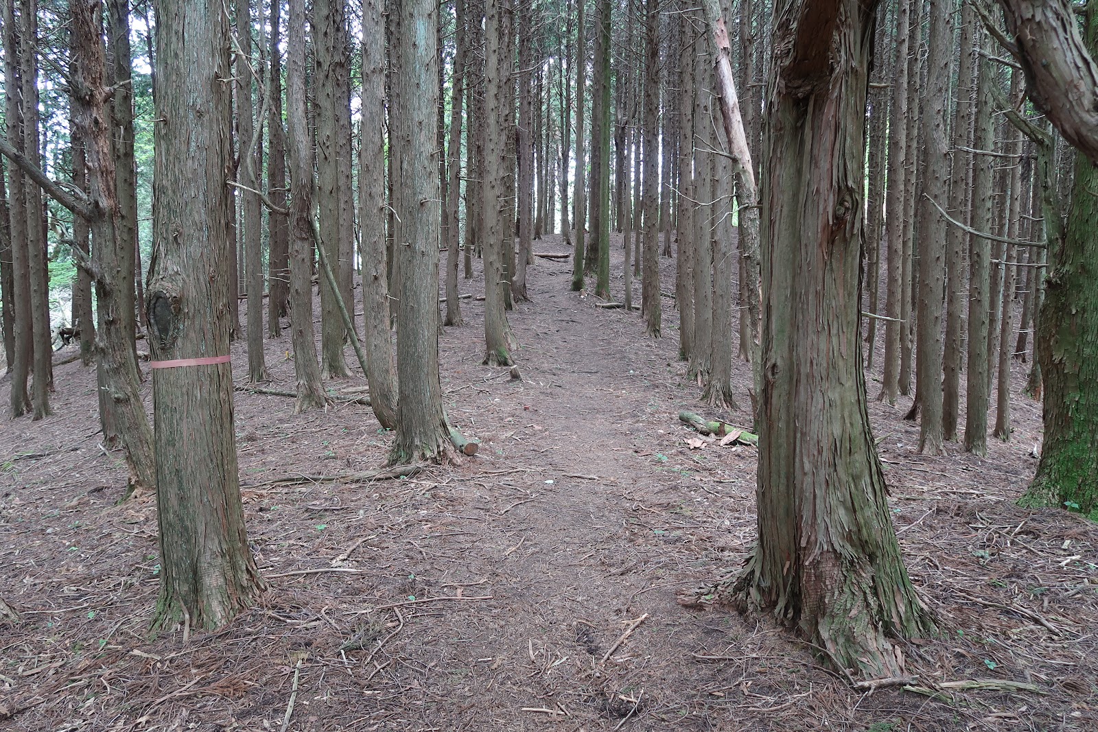
As Dangamine was the highest point of the day, things could only go down from there. That was unfortunately also figuratively the case. The descent started fine, but abruptly stopped at a newly asphalted road. It might make for easy going, but it is not at all what I associate with a day out in nature. The new asphalt quickly gives way to a dilapidated forest road. Walking in the forest with only the sound a birds and frogs is a little bit better than the newly asphalted part, but it lacks views and is just a monotonous drab the whole way back to the starting point. In the end I jogged the parts where the road was flat and smooth and returned to walking where it was just a pile of rocks and rubble. Eventually the forest road leads you past a resort with some interesting looking chalets and villas and a golf course - remember google maps - before arriving at the starting point.
So the conlusion? If you decide to hike this one, just come back the way you came from.

A solo hiker enjoying lunch on Futogamine.

Strolling on the ridge.

This fence was a small bummer; but probably useful in winter.

Heading down on an endless forest road.
>>More pictures<< |


No comments:
Post a Comment